Spectacular Photos of Tornadic Thunderstorm in Missouri
The storm containing the tornado is the one at left. The bright white area peaking out the top is an "overshooting top" which, in a case like this, is often associated with very large hail.
The above photo was taken at 3:39pm CDT.
The satellite image below was taken at 3:32pm. I have circled the overshooting top, the towering cumulus cloud in the foreground that is merging with the main storm and the direction I am looking (arrow).
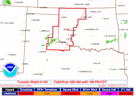
I will be offline the rest of the afternoon and evening. Please stay up on the weather if you are in one of the tornado watches (see below).


Comments
Post a Comment