Why Warning of Downbursts Can Be So Tricky
The posting below outlines that downbursts are possible in Kansas this afternoon and evening. We just had one west of Wichita.
The downburst is contained in the blue circle. The greens are winds blowing to the southeast and the yellows and oranges are winds blowing toward the northwest (red arrows). According to the Terminal Doppler Weather Radar, there is a peak wind gust of about 50 mph.
So, what did this storm look like on the regular radar?
It is the tiny red dot west of Wichita!
In the type of atmospheric conditions we have in southern Kansas this afternoon, small thunderstorms can produce high winds and an extreme hazard to aircraft landing and taking off called wind shear.
Normally, we would not warn on a storm as small as the one indicated but with temperatures in the 100 to 105° range and dew points from 55 to about 63°F combined with a near perfect environment aloft, even small cells can cause strong winds.
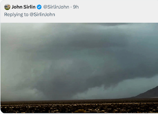
ADDITION: 2:30pm CDT: Here is a photo of the cell in question in the background (arrows):


Comments
Post a Comment