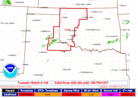
Tornado Watch: Nebraska and Northern Kansas
Until midnight central time. Note: The risk of tornadoes is "high" and the risk of violent tornadoes is "moderate."
In addition to tornadoes, the NWS is forecasting hail stones to four inches in diameter and wind gusts to 80 mph!
Please take this situation seriously. Monitor the weather this evening and be prepared to move to shelter at the first sign of thunderstorms in your area.
Right now, radar is indicating rapidly developing thunderstorms in southern Nebraska and western Kansas. There is also a sign of thunderstorms developing north of LaCrosse and near Greensburg.


Comments
Post a Comment